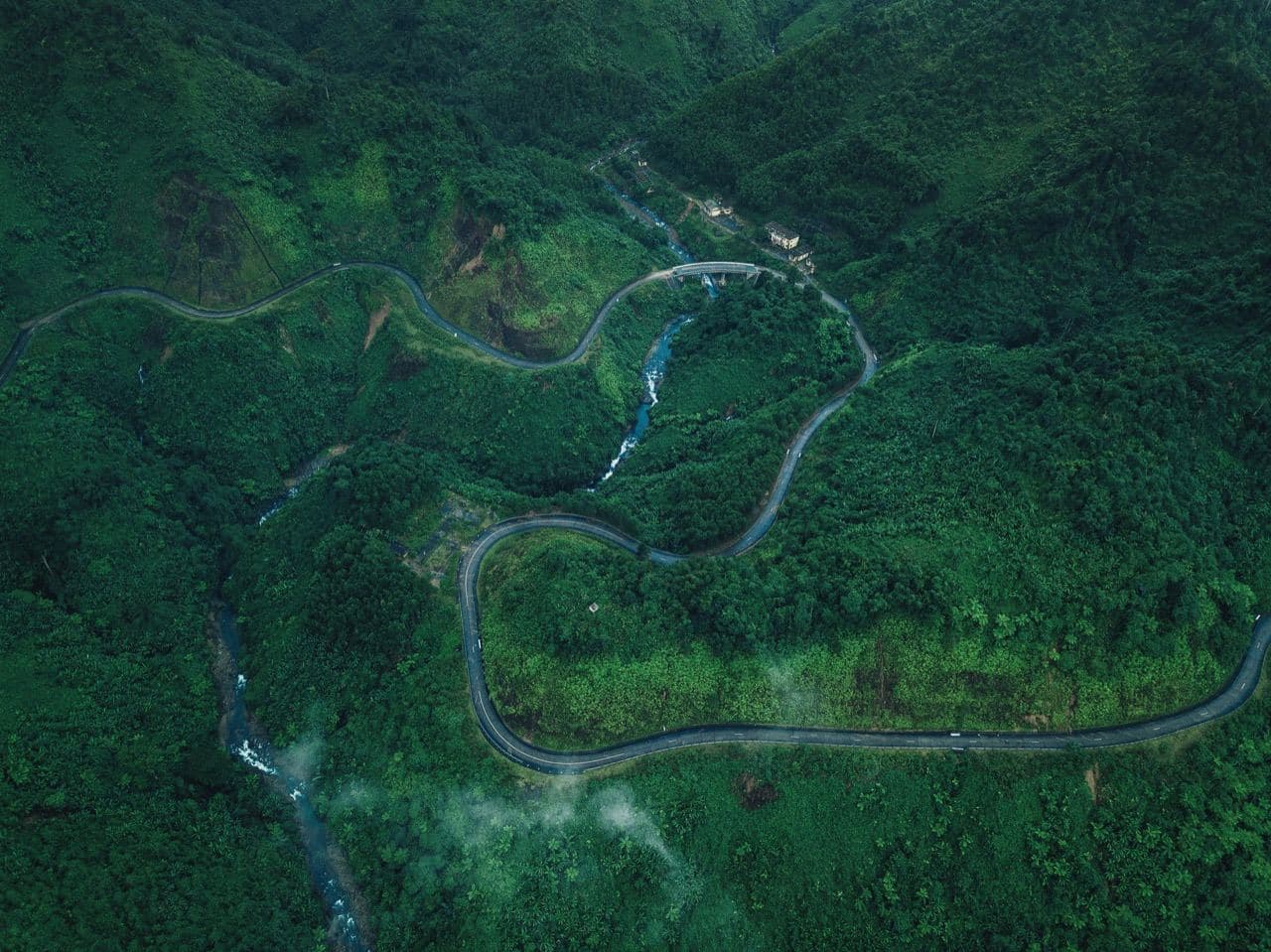
Bach Ma National Park in 2026: hiking, waterfalls and the walk from Km12
Bach Ma National Park reopened on 1 January 2026, two months after a record rainstorm tore up the only road to the summit. The one thing most English guides haven't caught up with: cars now stop at Km12. From there you walk.
Bach Ma National Park (Vườn Quốc Gia Bạch Mã) sits in the Annamite Mountains 45–50 km by road from Hue, climbs to about 1,450 m and covers 37,487 hectares of forest, with the Five Lakes trail, a waterfall more than 300 m tall and some of the best birding in Vietnam.
The summit viewpoint is about 7 km on foot from Km12, the Do Quyen waterfall roughly 5.5 km plus close to 700 steps. You have to check in at the Visitor Center before 09:00 and be back by 17:00 the same day.
| What | Details |
|---|---|
| Visitor Center address | Xã Phú Lộc, Thành phố Huế (off Highway 1A near Cau Hai) |
| Visitor Center coordinates | 16.2498, 107.8723 |
| Hours in 2026 | Arrive before 09:00, return before 17:00, no overnight stays |
| Adult ticket | 65,000 VND (~$2.60) |
| Child / student / senior ticket | 25,000 VND (~$1) |
| Visitor Center phone | +84 234 3871 330 (office hours) |
| Official site | bachmapark.com.vn (Vietnamese first) |
If you're still planning the region, start with the Hue travel guide. The Hue attractions list covers 15 sights, Bach Ma included as a day trip.
Bach Ma in 60 seconds
Bach Ma is one of the wettest places in Vietnam and one of its richest parks for wildlife. The summit gets up to 8,000 mm of rain a year. The park holds more than 2,000 plant species and 358 bird species, over a third of everything recorded in the country. It became a national park in 1991 and an ASEAN Heritage Park in 2022.
A note on addresses: since Vietnam's July 2025 administrative reform abolished districts, the park belongs to Hue city rather than "Phu Loc District, Thua Thien Hue province". The southern slopes fall inside Da Nang. Older listings, booking sites and even some tour vouchers still use the old names.
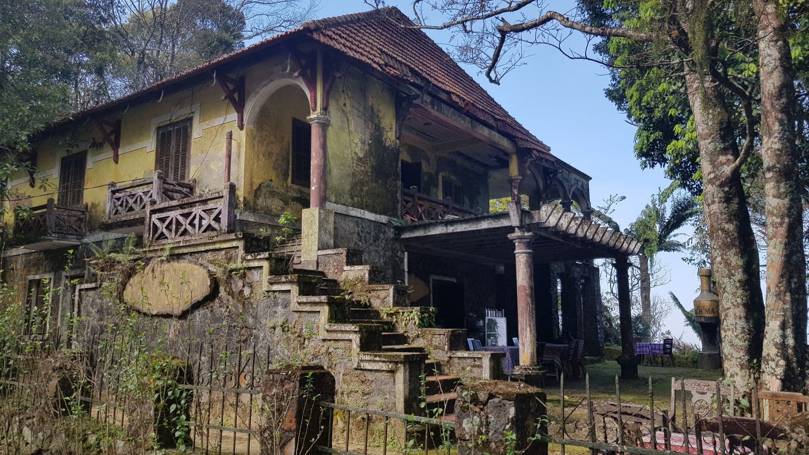
The French got here first. In 1932 an engineer named Girard picked the summit for a hill station, and by 1937 it had 139 villas and hotels, a post office, a market and a hospital. People called it the Dalat of central Vietnam. It was abandoned after 1945 and wrecked by the wars that followed. Today you walk past mossy ruins and collapsed foundations along the summit road; a couple of villas have been rebuilt as guesthouses.
The park straddles the line between northern and southern flora, which is why the species lists are so long.
Is Bach Ma open in 2026? What changed after the landslide
On 27 October 2025 the weather station on Bach Ma peak logged 1,739 mm of rain in 24 hours. That's a Vietnamese record and the second-highest daily total ever measured anywhere, behind La Réunion in 1966. The mountain road gave way: at Km9+500 roughly 100 m of slope collapsed, 30–50 m deep. The park shut down.
It reopened on 1 January 2026 under new rules.
Vehicles stop at Km12. You cross the slide on foot, about 500 m, and it's roughly 7 km more to the Hải Vọng Đài viewpoint. The road repair is in the government's 2026–2030 investment programme, with no date attached. Treat the day as a proper hike.
Check in before 09:00, be back by 17:00. The park groups visitors and sends a guide along with each group. Turn up late and there may be no group to join. The rule exists so nobody is on the trail after dark.
No overnight stays. Sunrise from Hai Vong Dai after a night in a summit villa used to be the classic Bach Ma experience. For now you return to the Visitor Center the same day and sleep at the foot of the mountain, in Lang Co or in Hue.
How to get to Bach Ma from Hue, Da Nang and Hoi An
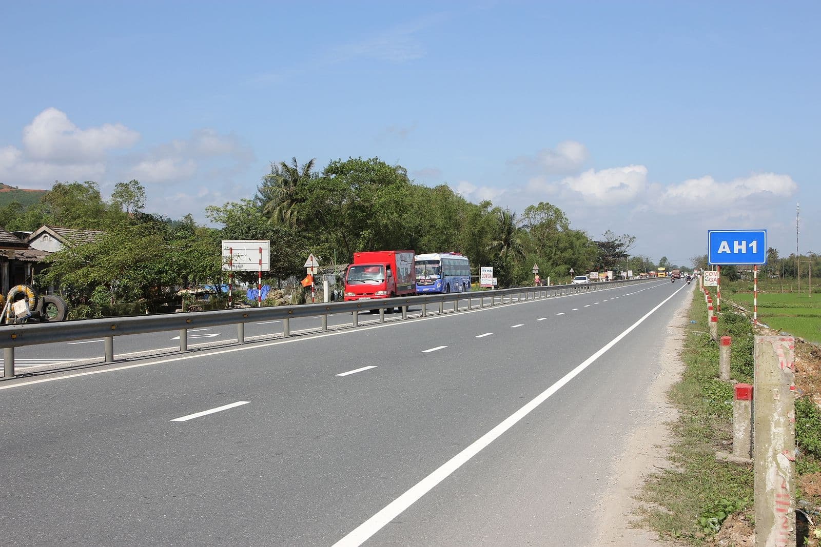
Bach Ma sits between Hue and Da Nang, so it slots neatly into a Hue → Hoi An transfer day. Independently, a motorbike or a car with driver is easiest. A tour takes the logistics off your hands.
From Hue (45–50 km)
| Option | Time | Price | Notes |
|---|---|---|---|
| Rent a motorbike | 1 h | $6–8/day + fuel | The bike stays at the Visitor Center |
| Grab / Be car | 1 h | $20–30 one way | Drops you at the Visitor Center only |
| Car with driver | 1 h | $60–100/day | Driver waits and brings you back |
| Hue–Da Nang bus | 1 h | $2–4 | Get off at the Cau Hai turn-off, then 3 km on foot or by taxi |
| Train to Cầu Hai station | 1–1.5 h | $3–6 | Not every train stops, check the schedule |
| Group tour | full day | from ~$36 | Transfer, ticket, guide and lunch; see tours from Hue |
A motorbike makes sense if you already ride in Vietnam. Highway 1A is straightforward and the turn-off has brown signs. Fuel for the day runs 100,000–150,000 VND (~$4–6). Two catches: to ride legally you need an International Driving Permit (1968 convention), and motorbikes aren't allowed on the park's mountain road anyway, so the bike waits at the Visitor Center.
From Da Nang (60–65 km)
| Option | Time | Price |
|---|---|---|
| Car via the CT01 toll expressway | 1.5 h | $80–120/day |
| Bus | 1.5–2 h | $4–6 |
| Motorbike (experienced riders) | 1.5–2 h | from $8/day + fuel |
| Tour with transfer | full day | from ~$44 |
From Da Nang you can pair Bach Ma with the Hai Van Pass. Both are on Highway 1A, about 35 km apart. Doable in one day, but you'll be tired.
From Hoi An (95 km)
| Option | Time | Price |
|---|---|---|
| Car with driver | 2 h | $100–160/day |
| Tour with transfer | full day | from ~$48 |
| Motorbike on your own | 2.5 h | from $8/day + fuel |
A day trip from Hoi An is the most draining version. If you want nature with less driving, the Hoi An guide covers the Cham Islands and the Marble Mountains, both within 30 km.
Inside the park
From the Visitor Center to Km12 you need a car: your own (16 seats max) or one hired from the park. Park rates since May 2025, per day: 4-seat car 900,000 VND (~$36), 7-seat 1,000,000 VND (~$40), 16-seat 1,200,000 VND (~$48). The park caps foreign passengers per car: two in the 4-seater, four in the 7-seater, eight in the 16-seater. Past the slide you walk. The park keeps around ten motorbikes on the far side for rangers, and some tours arrange a lift to Km17; ask when you book. There's no date for reopening the road to the parking areas at Km16 and Km17.
Fast Track — no queue at the border
5–10 minutes instead of an hour in the immigration queue
from$11per passenger
Bach Ma hiking trails and waterfalls: what fits in a day
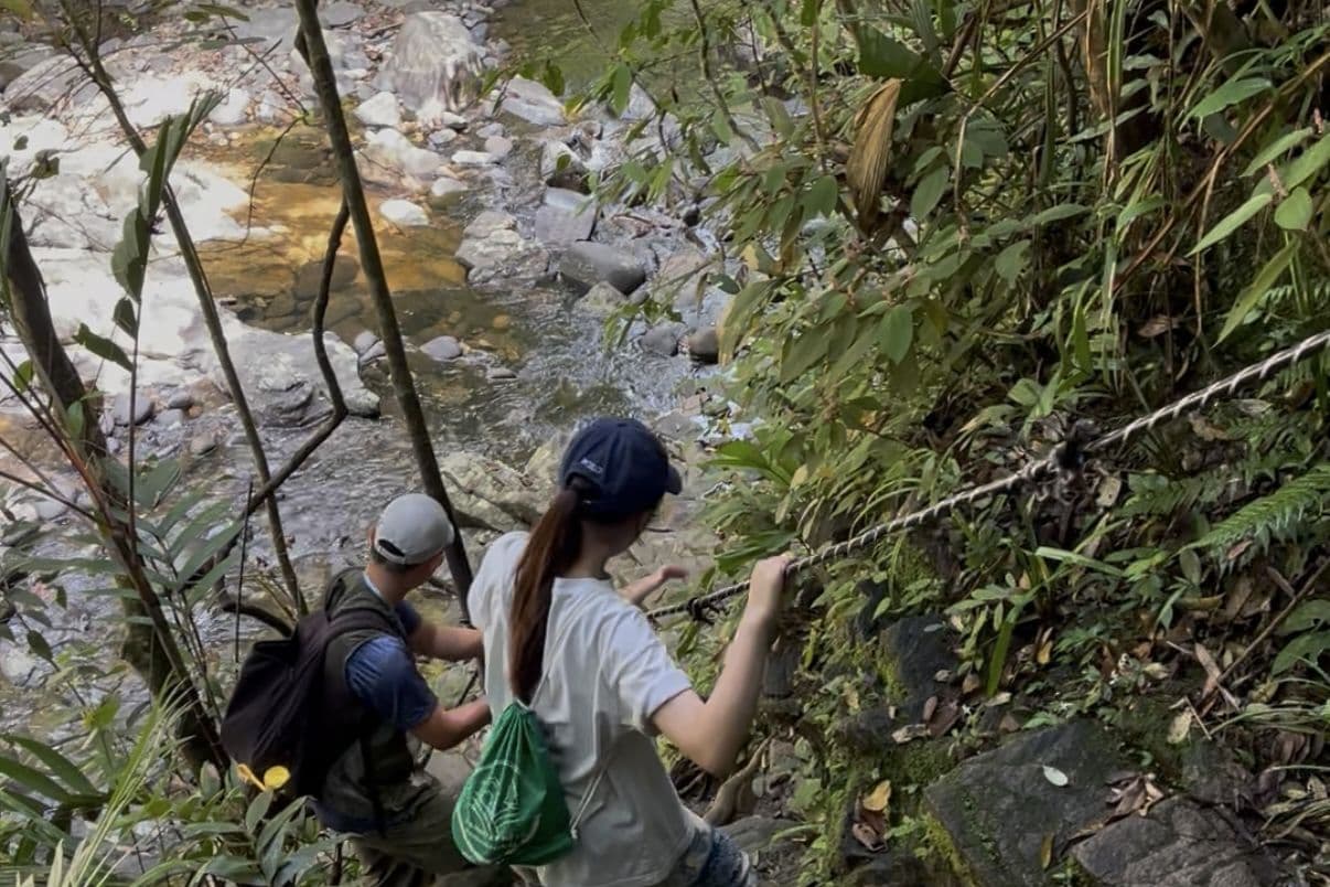
Bach Ma has five main trails. Most leave the mountain road and head into the forest to a waterfall or a viewpoint. Since the landslide added kilometres to every route, one trail a day is realistic, two at most.
| Trail | Distance from Km12 | One way | Difficulty |
|---|---|---|---|
| Five Lakes (Ngũ Hồ) | 5–6 km + 1.5 km trail | 2–2.5 h | Moderate to hard |
| Do Quyen waterfall | ~5.5 km + nearly 700 steps | 2.5–3 h | Hard |
| Hai Vong Dai summit | ~7 km | 2.5–3 h | Hard |
| Trĩ Sao trail | Below the slide, drive to the trailhead, then 2.5 km | 1 h | Easy to moderate |
| Truc Lam Bach Ma monastery | Separate drive, at Truoi Lake | — | Easy |
Five Lakes trail
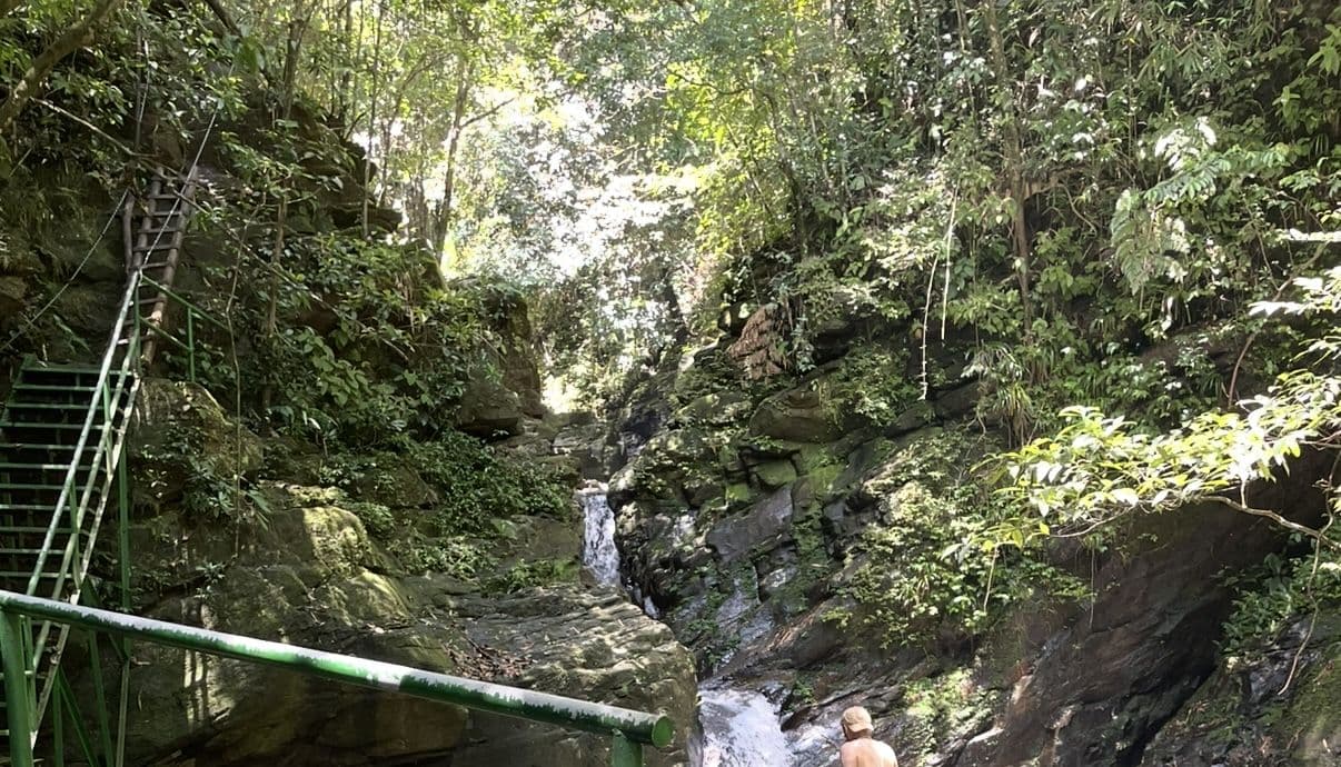
The most popular hike and the most underestimated. It starts near the Kim Giao villa in the summit area and runs about 1.5 km past a chain of waterfalls and pools. The water steps down from one pool to the next over granite slabs. The park allows swimming in lakes 4 and 5, if you can take the cold.
Ngũ Hồ means "five lakes". The water is clear and cold even in summer, which feels great after Hue at 33°C.
Expect wet granite under leaf litter, tree roots and metal ladders, some of them damaged by the 2025 floods. Smooth-soled sneakers are a bad idea here. Wear hiking boots or trail shoes with real tread.
💬 "Not difficult walking but strenuous with the humidity." The actual distance walked was "longer than the map suggests." — Hiking The World, August 2023, before the landslide
Do Quyen (Rhododendron) waterfall
Thác Đỗ Quyên is the park's headline waterfall, more than 300 m of white water down a granite wall. It feeds one of the two main branches of the Perfume River.
The trail starts at Km16: about 1.5 km on a gentle forest slope, around 30 minutes. To reach the base you go down nearly 700 steps (hikers who count get 689). The staircase is narrow and the handrail comes and goes. The climb back up is the hardest part of the day, and after rain the steps are slick.
Come in spring for photos. Rhododendrons, đỗ quyên in Vietnamese, bloom red along the cliffs and streams, and the waterfall is named after them. The rest of the year it's still a big white ribbon, just without the red frame.
You can dip in the pool at the bottom, and it's freezing. In the rainy season the water turns murky and rises fast, so stay out after a downpour.
Hai Vong Dai summit viewpoint
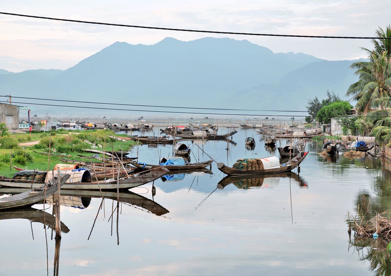
Hải Vọng Đài translates roughly as "sea-watching tower": a stone viewing platform close to 1,450 m. On a clear day you get 360 degrees: the Annamites all around, the Cau Hai lagoon to the north, Lang Co and the sea to the east, and the coast toward Da Nang.
Clear days are the problem. Clouds sit on the summit for much of the year. Spring and summer give you the best odds; October to January is a coin toss at best.
Trĩ Sao trail and the French villa ruins
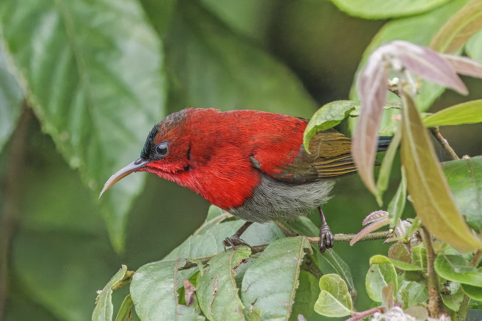
The Trĩ Sao trail is named after the crested argus, one of the park's pheasants. It starts at Km5, below the landslide, which makes it the easiest trail to reach in 2026. Around 2.5 km of open forest brings you to waterfalls and clear swimming pools. Go early (05:30–07:30) or late afternoon for birds. Oriental Bird Club rates Bach Ma among the best birding sites in Vietnam.
The ruins of the 1930s villas are scattered along the road near the summit: moss-covered walls, sunken pools, bare foundations. You'll miss half of them without a guide.
Truc Lam Bach Ma monastery
Thiền viện Trúc Lâm Bạch Mã is a working Zen monastery on a hillside above Truoi Lake. It's outside the main park area, a separate drive off Highway 1A near Loc An. Worth adding if you have an hour left at the end of the day, mostly for the quiet and the view over the water.
- Visitor Center and ticket office (Trung tâm Du khách VQG Bạch Mã): Tickets 65,000 VND — Arrive before 09:00, back by 17:00
- Five Lakes trail (Đường mòn Ngũ Hồ): 1.5 km trail, swimming in lakes 4 and 5 — On foot from Km12
- Do Quyen waterfall (Thác Đỗ Quyên): Over 300 m tall — Trail from Km16 and nearly 700 steps down
- Hai Vong Dai summit (Đỉnh Hải Vọng Đài): About 1,450 m, 360-degree view — ~7 km on foot from Km12
- Truc Lam Bach Ma monastery (Thiền viện Trúc Lâm Bạch Mã): Zen monastery above Truoi Lake — Separate drive off Highway 1A
Best time to visit Bach Ma
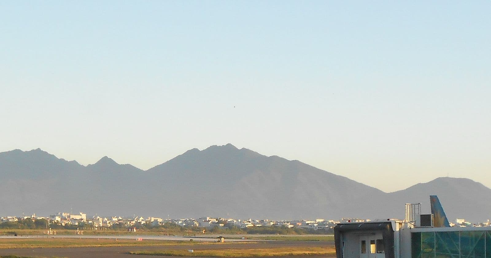
Bach Ma is among the rainiest spots in Vietnam: up to 8,000 mm a year on the summit, against about 2,800 mm in Hue. It's also cool up there. Summer days on top run 18–25°C and nights can drop to 12–15°C, a relief when Hue is sitting at 33°C.
| Month | Rain | Summit visibility | Verdict |
|---|---|---|---|
| January | High | Low | Green but slippery |
| February | Medium | Good | Rhododendrons start ✅ |
| March | Low | Excellent | ✅ Best |
| April | Low | Excellent | ✅ Best |
| May | Low | Good | Cool in the park |
| June | Low | Good | Escape the heat |
| July | Low | Good | ✅ Ideal |
| August | Medium | Good | ✅ |
| September | High | Dropping | Typhoon season starts |
| October | Very high | Fog | ❌ Typhoons |
| November | Very high | Fog | ❌ |
| December | High | Low | Cold and wet |
The best months are March, April and June to August. By May and June Hue hits 34°C while the park stays noticeably cooler.
Spring is a special case. Some days are wet, but that's when the rhododendrons bloom around Do Quyen. If you want that photo, this is the window.
October and November are off the table. Those are typhoon months, and the 1,739 mm day in October 2025 is what brought the road down. The park closes in bad weather by management decision, not always with notice.
Weather across the region: Hue weather · Vietnam weather by month
Wildlife in Bach Ma: what you might actually see
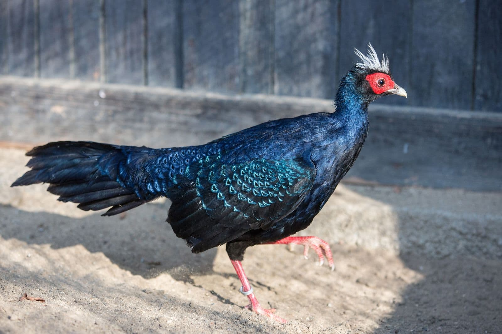
Bach Ma is one of Vietnam's most species-rich parks. Figures from the ASEAN Centre for Biodiversity and Oriental Bird Club:
- more than 2,000 plant species
- 132 mammal species
- 358 bird species, over a third of Vietnam's total
- several pheasants, including the crested argus and the endemic Edwards's pheasant
Edwards's pheasant (Lophura edwardsi) is the famous one. Nobody recorded it for 61 years, then in 1996 it turned up just north of Bach Ma, in what is now Phong Dien Nature Reserve. There's been no confirmed wild sighting since 2000, and it's considered possibly extinct in the wild; captive birds are the basis of reintroduction plans. You won't see one on the trail.
Red-shanked douc (Chà vá chân nâu) is one of the most colourful primates anywhere: grey body, golden face, maroon "stockings" and white forearms. Look up into the canopy in the early morning or at dusk.
Crested argus is the bird behind the Trĩ Sao trail's name. You'll hear it far more often than you'll see it; the call carries across the valley in the morning.
Bigger mammals such as sun bears, civets, serow and pangolins are back on the rangers' camera traps. Meeting one on a trail is close to impossible.
What you will see: giant snails, weaver ants, dozens of butterfly species. In the rainy season, leeches. Boots and long socks handle them; shorts don't.
Bach Ma entrance fee, hours and packing list
Prices in 2026
| Item | VND | ~USD |
|---|---|---|
| Adult ticket | 65,000 | $2.60 |
| Child / student / senior ticket | 25,000 | $1 |
| Vietnamese-speaking guide (day) | 500,000 | $20 |
| English-speaking guide (day, weekdays) | 700,000 | $28 |
| Park car, 4 seats (day) | 900,000 | $36 |
| Park car, 7 seats (day) | 1,000,000 | $40 |
| Park car, 16 seats (day) | 1,200,000 | $48 |
| Group tour from Hue | from 900,000 | from $36 |
| Tour from Da Nang / Hoi An | from 1,100,000 | from $44 |
| Private tour | from 1,800,000 | from $72 |
Park prices exclude VAT, and guides cost 30% more on public holidays. Student and senior rates need a student card or ID.
Currency converter
Hours
| What | When |
|---|---|
| Arrive at the Visitor Center | before 09:00 |
| Be back at the Visitor Center | before 17:00 |
| Overnight in the park | not until the road is fixed |
What to bring
For a day hike:
Mobile signal drops out on the trails and is better at Hai Vong Dai. Get a local SIM or eSIM before you leave Hue; the Vietnam SIM card guide covers the options.
Pros and cons: who Bach Ma is for
Go if you hike at least once a year, like photographing nature, carry binoculars, or want a day away from the crowds. For experienced riders it's a good stop on the Hue → Hoi An run.
Skip it if you have kids under 8 (the distances past Km12 are too long), bad knees (those 700 steps), or one day to "see Vietnam". There are no cafes on the trails, no souvenir stalls and no Wi-Fi.
Our score: 4.2 out of 5 for prepared hikers, 2.5 for casual sightseers.
Where to stay near Bach Ma
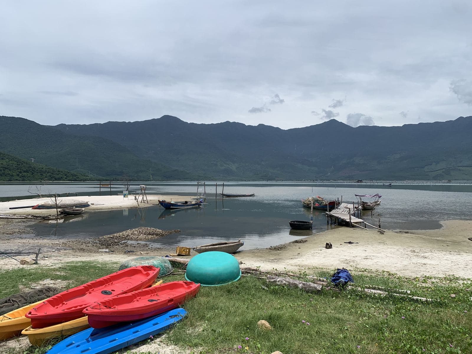
Since January 2026 there's no overnight option inside the park. Stay at the foot of the mountain, in Lang Co or in Hue.
| Place | Type | Per night | To Visitor Center | Best for |
|---|---|---|---|---|
| Homestay Mê Ly — Trekking Bạch Mã | homestay | budget, check booking sites | at the foot | Early starts on a budget |
| Homestays on Lap An lagoon | homestay | $30–45 | 20–25 km | Lagoon views |
| Lang Co Beach Resort | 4★ | $70–110 | 25 km | Families, a beach day after the hike |
| Angsana Lang Co | 5★ | $250–500 | 30 km | Golf, spa |
| Banyan Tree Lang Co | 5★ | $350–800 | 30 km | Pool villas |
| Any central Hue hotel | 3–4★ | $25–90 | 45–50 km | Early start from town; see Hue hotels |
If you're already in Hue, don't bother moving to Lang Co. Leave town at 06:30–07:00 and you'll reach the Visitor Center around 08:00, well before the 09:00 cut-off.
Alternatives to Bach Ma
If Bach Ma is closed, too far, too hard, or just not your thing:
| Alternative | Better than Bach Ma for | Worse than Bach Ma for | More |
|---|---|---|---|
| Ba Na Hills | Cable car, facilities, families | It's a theme park, not nature | Ba Na Hills |
| Marble Mountains | Close to Da Nang, 2 hours total | Small, no real hiking | Marble Mountains |
| Hai Van Pass | On the way, sea views | A road, not a park | Hai Van Pass |
| Phong Nha | World-class caves | About 200 km from Hue | Vietnam national parks |
Ba Na Hills is Bach Ma's opposite: the Golden Bridge held up by giant stone hands, a 5.8 km cable car, a mock French village and an amusement park. Nature in a comfortable package. The ticket is 950,000 VND (~$38), almost 15 times Bach Ma's.
Marble Mountains are 20–30 minutes from central Da Nang: five limestone hills with pagodas and caves. An hour and a half, little effort, fine for older travellers. More caves and shrines than nature.
Hai Van Pass is 21 km of mountain road between Hue and Da Nang, topping out around 500 m. A good stop on the way to or from Bach Ma, with views over Lang Co and old fortifications at the top.
Phong Nha-Ke Bang has the world's largest caves (Son Doong, Paradise, Phong Nha). Different league, different logistics: about 200 km from Hue, two days minimum. See the Vietnam national parks guide.
Phong Nha-Ke Bang guide · Son Doong · Paradise Cave
FAQ — Bach Ma National Park
Yes. It reopened on 1 January 2026 after the October 2025 landslides, with limits: vehicles stop at Km12 and it's about 7 km on foot to the summit. You must reach the Visitor Center before 09:00 and be back by 17:00, and overnight stays are suspended. Check bachmapark.com.vn before you go, because individual trails close without notice after heavy rain
A full day. Leave Hue around 06:30–07:00 and expect to be back between 18:00 and 19:00. From Km12 it's 5.5–7 km one way to the waterfall or the summit, about 2.5–3 hours on foot each way. That leaves time for one trail, two if you're fast, plus the walk back to Km12. Seeing everything takes two visits until the road reopens
- Under 8stick to the Trĩ Sao trail: it's below the landslide and you can drive to the trailhead
- 8 to 12add the summit if they're used to walking, but skip the waterfall steps
- 12 and upevery trail is fine with normal fitness
Nothing is stroller-friendly, and some trail handrails were damaged in the 2025 floods. Child tickets cost 25,000 VND (~$1)
For now the park groups everyone who arrives before 09:00 and sends a guide with each group, which is why being on time matters. A private guide costs 500,000 VND (~$20) a day in Vietnamese or 700,000 VND (~$28) in English. It's worth it for birders, or if you want to find the French villa ruins. A specialist bird guide is 700,000 VND
Hiking boots, 2 litres of water per person, a rain jacket, repellent, cash in VND, a headlamp and snacks. Past Km12 there are no shops, cafes or Wi-Fi. Bring your passport or a copy and an offline map (maps.me or Organic Maps), since the phone signal drops out on the trails. The full 12-item list is in the fees and hours section above
Technically yes, practically no. Hue needs at least half a day for the Imperial City and the tombs. Bach Ma, with 5.5–7 km on foot from Km12 and a 09:00 check-in, needs a full day. If you must combine them, do one trail at Bach Ma and keep Hue to an evening walk. Two days is better: Hue first, then Bach Ma with an early start
The park permits swimming in lakes 4 and 5. The water is cold, the bottom is rocky and the current is strong where the pools spill into each other, so only go in where you can see the bottom. After heavy rain the water turns murky and rises fast; in the rainy season (September to December) stay out. Past Km12 there are no lifeguards or first aid, and your car is several kilometres away
Read next: Hue tours · Hue food · Getting around Hue · Vietnam national parks



- Guide
Ho Chi Minh City Map: Districts & Where to Stay
A traveller's map of Ho Chi Minh City: District 1, District 3, Cholon and Binh Thanh, the main sights and where to base yourself.Ho Chi Minh City Map: Districts & Where to Stay - Guide
Beaches Near Hanoi: Cat Ba, Ha Long & Day Trips 2026
Where to find a beach from Hanoi: Cat Ba, Do Son, Ha Long, Quan Lan and Co To — how to get there, the swimming season and day-trip tips.Beaches Near Hanoi: Cat Ba, Ha Long & Day Trips 2026 - Guide
Cam Ranh Transport: Airport Transfers, Taxis & Buses
Getting around Cam Ranh: airport transfers to Nha Trang and the resorts, taxis and Grab, buses and scooter rental — costs and tips.Cam Ranh Transport: Airport Transfers, Taxis & Buses